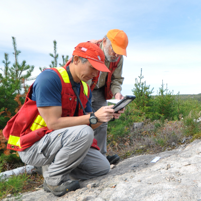
In October, NWMO geologists began conducting detailed geological mapping in the Ignace area. This mapping is planned to cover broad areas that have been identified as having potential for meeting the requirements of the project.
The initial mapping activities planned for this field season are now finished and will resume next spring as soon as weather conditions permit. The work is expected to be completed over the course of next summer. The scope, locations and access for detailed geological mapping activities are planned and conducted in collaboration with people in the area who have an interest in the land.
The results of this work will help advance understanding of the geology in the area and inform decisions about future studies. This will allow us to further assess the suitability of the Ignace area for a deep geological repository for Canada's used nuclear fuel.
We are also conducting various studies in a number of other areas in Ontario where communities have expressed interest in learning more about Adaptive Phased Management. Several years of progressively more detailed studies are needed before any decisions on a potential site are made.
